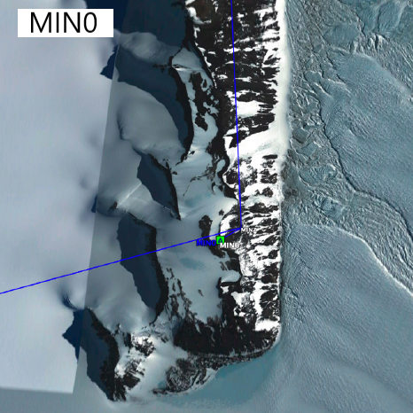
MIN0: Mark diagram 30-Nov-2021
|
Mark and site detail
|
Geodetic Code:
MIN0
|
|
Name:
Minna Bluff
|
Mark type:
Forced Centering
|
|
Land District:
|
Plan References:
|
|
Topo50 Reference:
|
NZTM:
|
|
|
Date established:
|
Date of Inspection:
30-Nov-2021
|
|
Mark Description:
* Tech2000 design 1m mast with 4 rock bolts. ARP is top of cap plate.
|
|
Mark Protection Structure Type:
* No protection.
|
|
GNSS Suitability:
|
|
Public ownership:
Unknown
|
|
|
|
|
Access Restrictions:
|
|
Access Notes:
Located at the far reaches of Minna Bluff, Antarctica.
|
|
Access Date:
|
|
Cellphone coverage:
No Coverage
|
|
|
Access Diagram:
May not be to scale
|
|
|
|
Date Beacon Erected:
|
|
Beacon Type:
Not Beaconed
|
|
Beacon Measurement date:
30-Nov-2021
|
|
Beacon Eccentricity:
|
|
|
Beacon Diagram:
|

|
|
*
The data in Landonline may be more recent