DPL7: Mark diagram 10-Jun-2005
(Superceded)
|
Mark and site detail
(Superceded)
|
Geodetic Code:
DPL7
|
|
Name:
IS X SO 69587
|
Mark type:
Pin
|
|
Land District:
North Auckland
|
Plan References:
|
|
Topo50 Reference:
AY30 257 121
|
NZTM:
6012138
1725691
|
|
|
Date established:
|
Date of Inspection:
* 10-Jun-2005
|
|
Mark Description:
* SS pin (25 mm dia) in concrete block. Bronze ID plaque.
|
|
Mark Protection Structure Type:
* 2m Beacon.
Aluminium ID plate
|
|
GNSS Suitability:
|
|
Public ownership:
Unknown
|
|
|
|
|
Access Restrictions:
Nil
|
|
Access Notes:
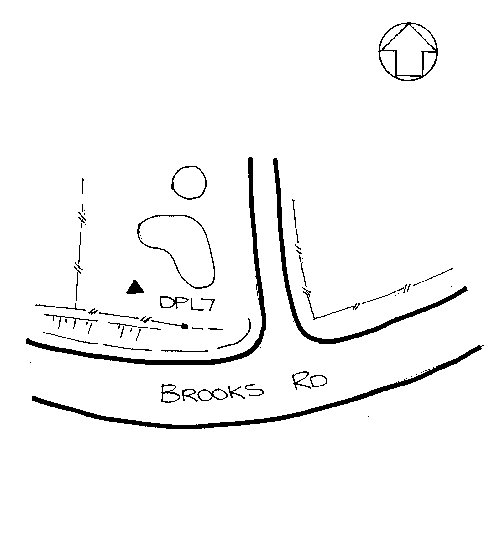
From SH1, Waipu, travel approximately 3.5km to trig on north side of road just past sealed ROW. Trig is on west side of fence above garden on side of hill and easily visible from road.
|
|
Access Date:
|
|
Cellphone coverage:
|
|
|
Access Diagram:
May not be to scale
|
|
|
|
Date Beacon Erected:
08-Jun-2005
|
|
Beacon Type:
Two metre beacon
|
|
Beacon Measurement date:
* 10-Jun-2005
|
|
Beacon Eccentricity:
|
|
|
Beacon Diagram:
|

|
|
*
The data in Landonline may be more recent