BDTY: Mark diagram 22-Sep-2011
|
Mark and site detail
|
Geodetic Code:
BDTY
|
|
Name:
SS 338 SO 6436
|
Mark type:
Pin
|
|
Land District:
Canterbury
|
Plan References:
SO 6436 SO 17794
|
|
Topo50 Reference:
BX24 701 761
|
NZTM:
5176113
1570132
|
|
|
Date established:
01-Apr-1930
|
Date of Inspection:
* 22-Sep-2011
|
|
Mark Description:
* Brass pin set in concrete. Bronze ID plaque.
|
|
Mark Protection Structure Type:
* Cast Iron Cover.
|
|
GNSS Suitability:
|
|
Public ownership:
Unknown
|
|
|
|
|
Access Restrictions:
|
|
Access Notes:
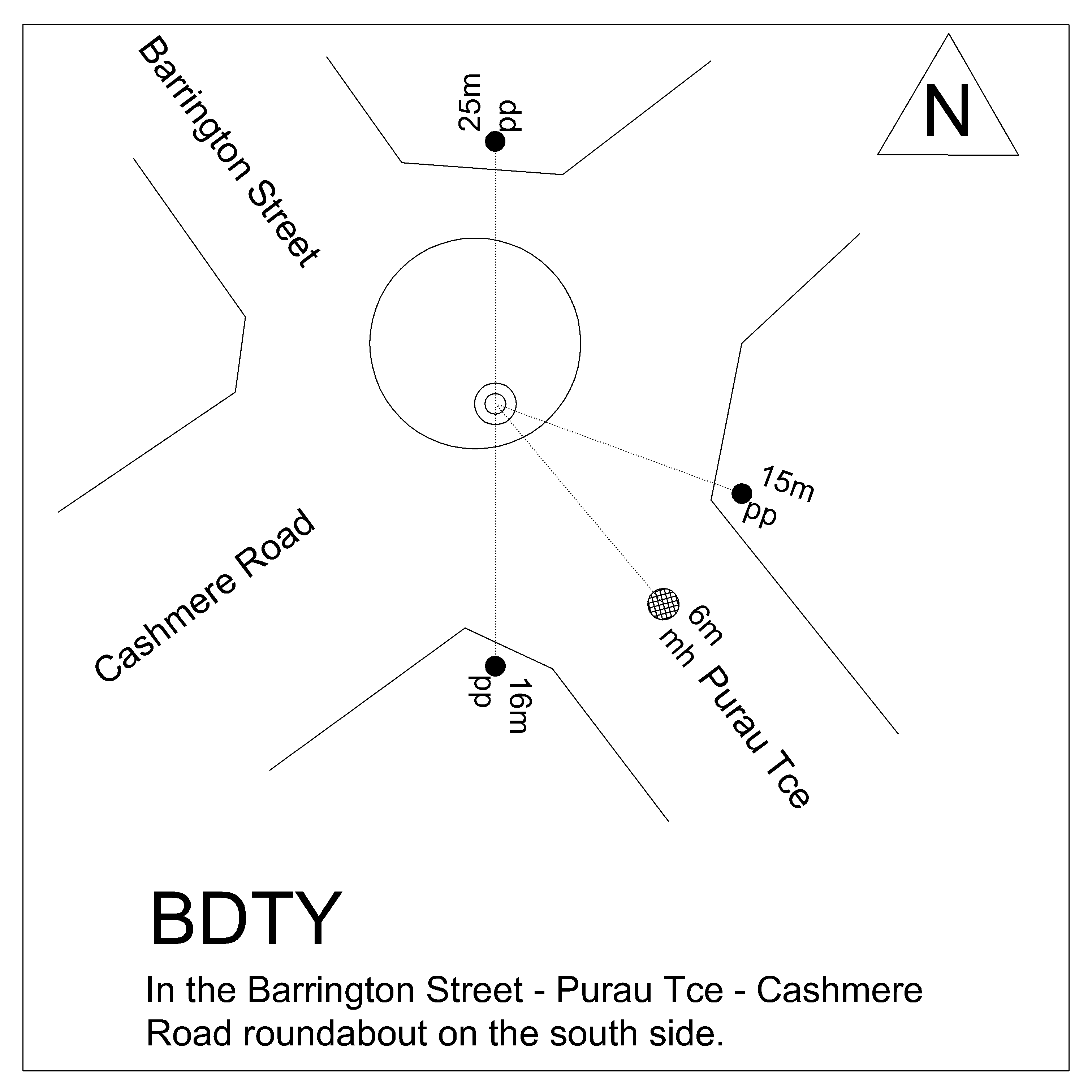
Located in centre of Cashmere Street and Barrington Street roundabout.
|
|
Access Date:
|
|
Cellphone coverage:
Telecom: Good. Vodafone: Not Tested. 2Degrees: Good
|
|
|
Access Diagram:
May not be to scale
|
|
|
|
Date Beacon Erected:
|
|
Beacon Type:
Not Beaconed
|
|
Beacon Measurement date:
* 22-Sep-2011
|
|
Beacon Eccentricity:
|
|
|
Beacon Diagram:
|

|
|
*
The data in Landonline may be more recent