B3AC: Mark diagram 30-Nov-2016
(Superceded)
|
Mark and site detail
(Superceded)
|
Geodetic Code:
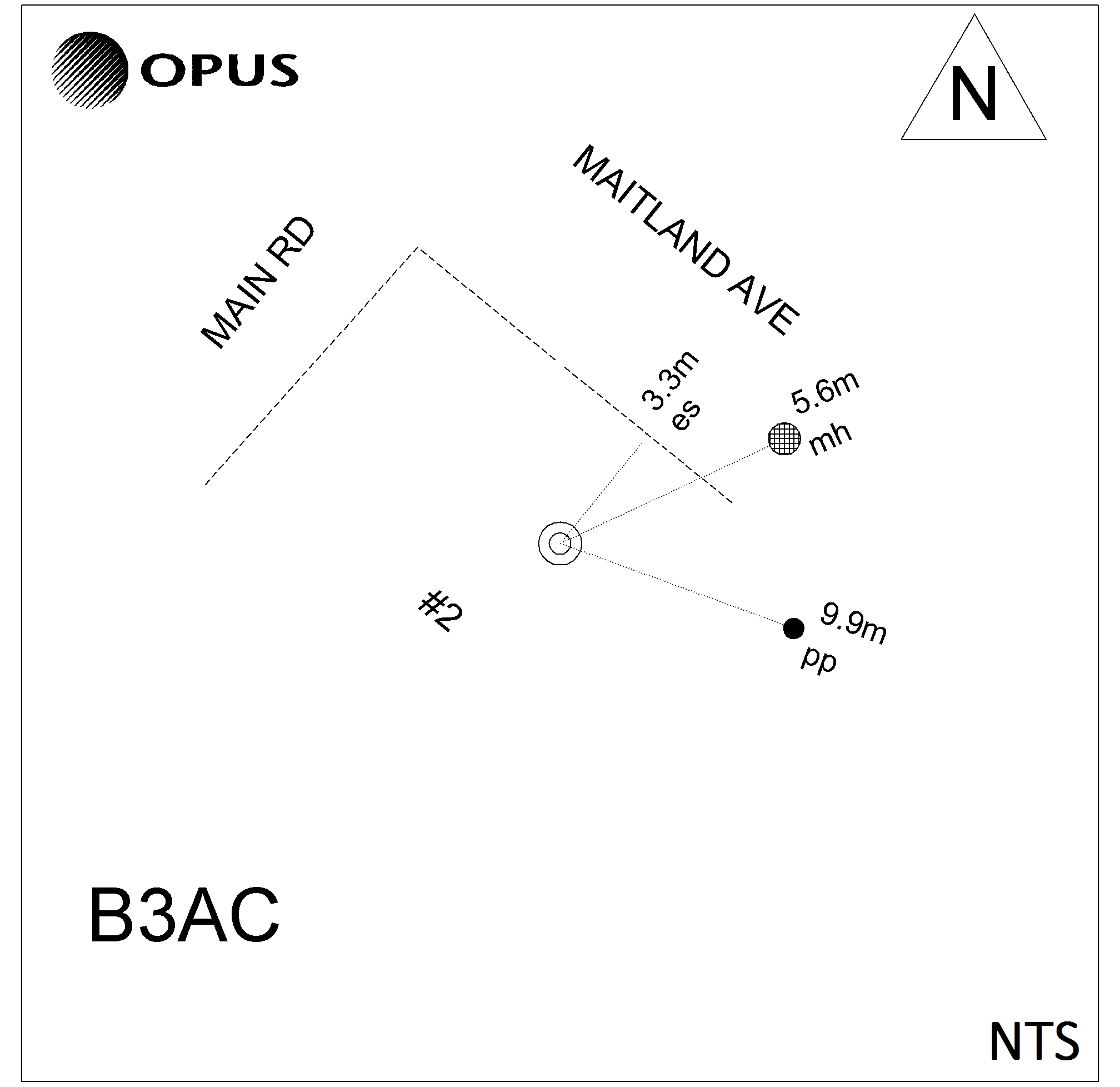
B3AC
|
|
Name:
N 6
|
Mark type:
Pin
|
|
Land District:
Nelson
|
Plan References:
SO 9870
|
|
Topo50 Reference:
BQ26 201 271
|
NZTM:
5427051
1620063
|
|
|
Date established:
01-Jan-1953
|
Date of Inspection:
* 30-Nov-2016
|
|
Mark Description:
* 22mm SS pin set in concrete block 0.30m below ground level. Bronze ID plaque.
|
|
Mark Protection Structure Type:
* Cover and Box.
|
|
GNSS Suitability:
|
|
Public ownership:
Unknown
|
|
|
|
|
Access Restrictions:
|
|
Access Notes:
Mark is outside #2 Maitland Ave at the back of footpath approx. 50m from intersection with Main Road.
|
|
Access Date:
|
|
Cellphone coverage:
Spark: Good. Vodafone: Good. 2Degrees: Good
|
|
|
Access Diagram:
May not be to scale
|
|
|
|
Date Beacon Erected:
|
|
Beacon Type:
Not Beaconed
|
|
Beacon Measurement date:
* 30-Nov-2016
|
|
Beacon Eccentricity:
|
|
|
Beacon Diagram:
|

|
|
*
The data in Landonline may be more recent