ADGD: Mark diagram 10-Apr-2018
(Superceded)
|
Mark and site detail
(Superceded)
|
Geodetic Code:
ADGD
|
|
Name:
L 70
|
Mark type:
Pin
|
|
Land District:
Wellington
|
Plan References:
SO 26335
|
|
Topo50 Reference:
BM33 936 160
|
NZTM:
5515996
1793554
|
|
|
Date established:
01-Dec-1963
|
Date of Inspection:
* 10-Apr-2018
|
|
Mark Description:
* Stainless steel pin with hemispherical head set in conc. Pyramid. Bronze ID plaque.
|
|
Mark Protection Structure Type:
* No protection.
|
|
GNSS Suitability:
|
|
Public ownership:
Unknown
|
|
|
|
|
Access Restrictions:
|
|
Access Notes:
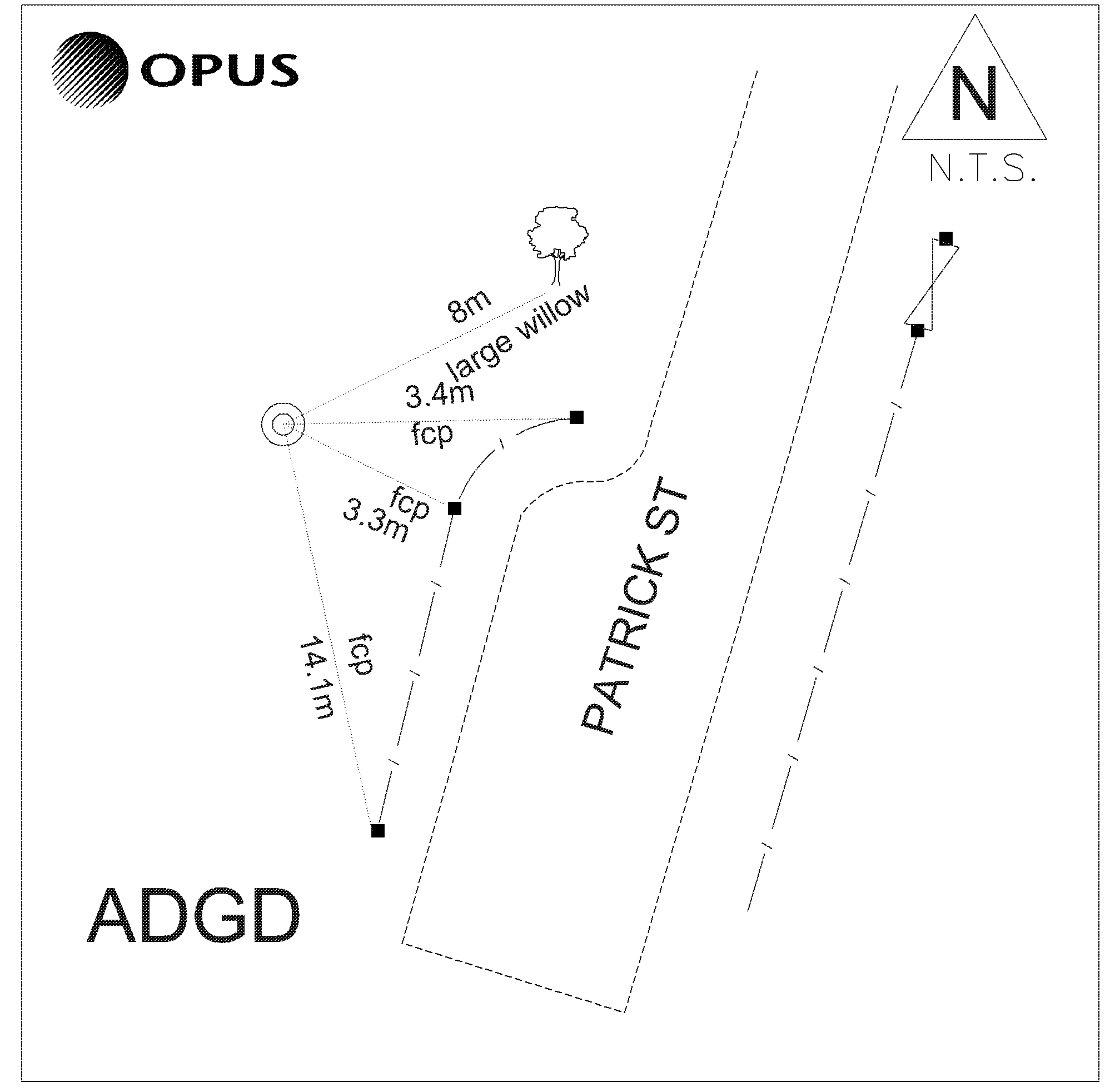
Mark is located off the western side of Patrick Street at the bottom of the bank. Approximately 15m south from the vehicle entrance to house number 6
|
|
Access Date:
|
|
Cellphone coverage:
Spark: Good. Vodafone: Not Tested. 2Degrees: Not Tested
|
|
|
Access Diagram:
May not be to scale
|
|
|
|
Date Beacon Erected:
|
|
Beacon Type:
Not Beaconed
|
|
Beacon Measurement date:
* 10-Apr-2018
|
|
Beacon Eccentricity:
|
|
|
Beacon Diagram:
|

|
|
*
The data in Landonline may be more recent