A0FU: Mark diagram 21-Feb-2013
|
Mark and site detail
|
Geodetic Code:
A0FU
|
|
Name:
IT I DP 18342 (PM SO 22910 Ecc)
|
Mark type:
Pin
|
|
Land District:
Otago
|
Plan References:
PM SO 22910 Ecc
|
|
Topo50 Reference:
CE17 095 187
|
NZTM:
4918722
1409545
|
|
|
Date established:
01-Feb-1998
|
Date of Inspection:
21-Feb-2013
|
|
Mark Description:
* SS Pin inside OIT. ID plaque attached to wall. Bronze ID plaque.
|
|
Mark Protection Structure Type:
* Cast Iron Cover.
|
|
GNSS Suitability:
|
|
Public ownership:
Unknown
|
|
|
|
|
Access Restrictions:
|
|
Access Notes:
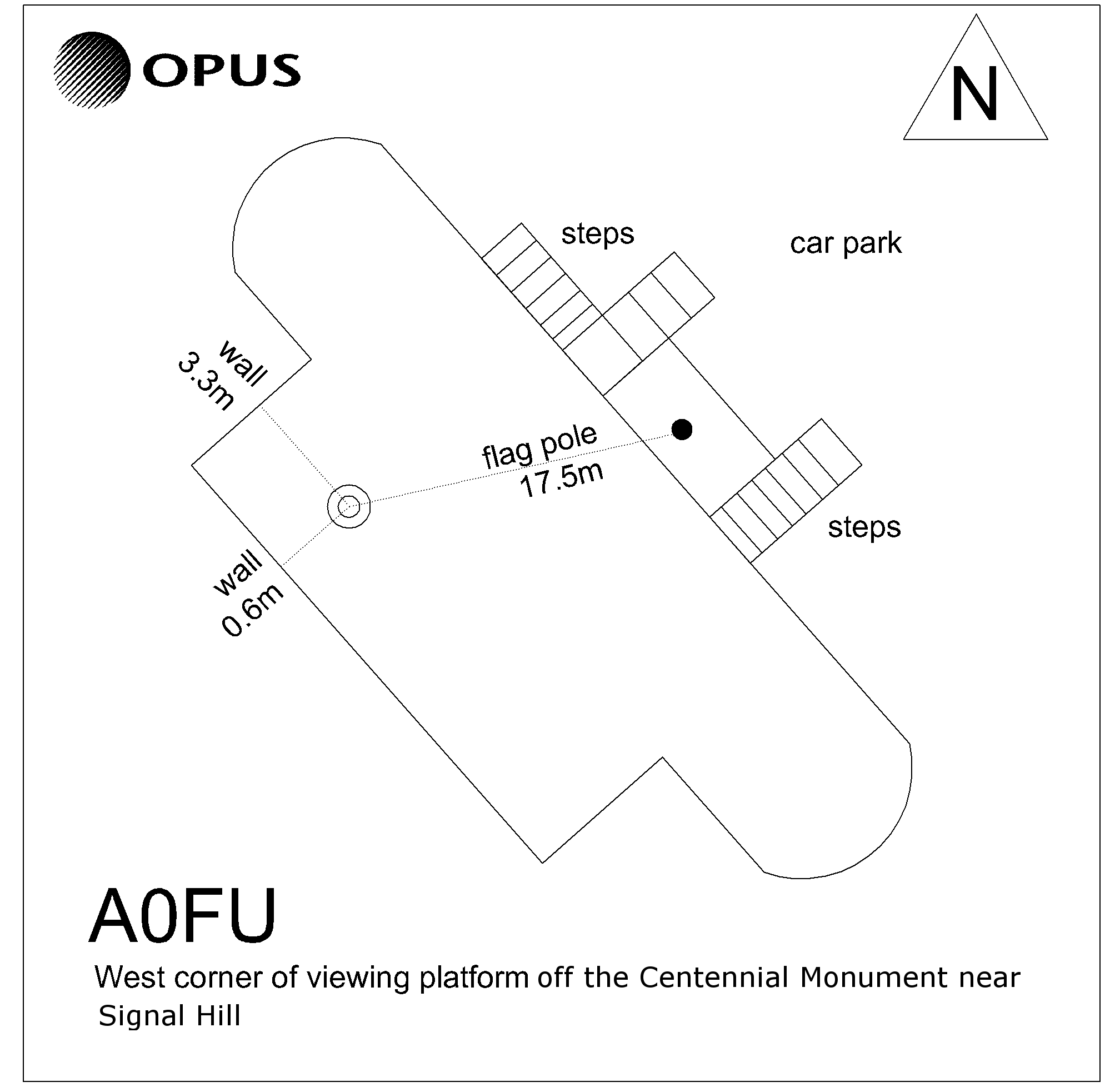
West corner of viewing platform of the Centennial Monument near Signal Hill.
|
|
Access Date:
|
|
Cellphone coverage:
Telecom: Good. Vodafone: Good. 2Degrees: Not Tested
|
|
|
Access Diagram:
May not be to scale
|
|
|
|
Date Beacon Erected:
|
|
Beacon Type:
Not Beaconed
|
|
Beacon Measurement date:
21-Feb-2013
|
|
Beacon Eccentricity:
|
|
|
Beacon Diagram:
|

|
|
*
The data in Landonline may be more recent