6702: Mark diagram 26-Jun-2006
(Superceded)
|
Mark and site detail
(Superceded)
|
Geodetic Code:
6702
|
|
Name:
A MT JOHN
|
Mark type:
Pin
|
|
Land District:
Canterbury
|
Plan References:
|
|
Topo50 Reference:
BY17 967 266
|
NZTM:
5126587
1396713
|
|
|
Date established:
31-Dec-1880
|
Date of Inspection:
* 26-Jun-2006
|
|
Mark Description:
* 2 INCH DIAM IRON PIPE, SET IN CONCRETE.27-Apr-1999: 50mm tube in concrete with Stainless Steel Pin, 0.17m above concrete plinth. ID plaque and plate attached. (Requires spanner to remove mast lock bolt) Bronze ID plaque.
|
|
Mark Protection Structure Type:
* 2m Beacon.
Aluminium ID plate
|
|
GNSS Suitability:
|
|
Public ownership:
Unknown
|
|
|
|
|
Access Restrictions:
Phone before visit or contact owner on site.
|
|
Access Notes:
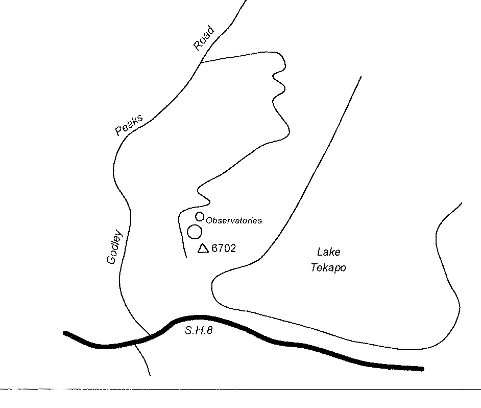
Access is via Godley Peaks Road, south of Tekapo. Travel along Godley Peaks Road for 3-4km then turn right onto sealed access to the Mt John Observatory. The mark is on the highest point on the mountain.
|
|
Access Date:
|
|
Cellphone coverage:
|
|
|
Access Diagram:
May not be to scale
|
|
|
|
Date Beacon Erected:
06-Jun-2006
|
|
Beacon Type:
* Two metre beacon
|
|
Beacon Measurement date:
* 26-Jun-2006
|
|
Beacon Eccentricity:
Now Centred
|
|
|
Beacon Diagram:
|

|
|
*
The data in Landonline may be more recent