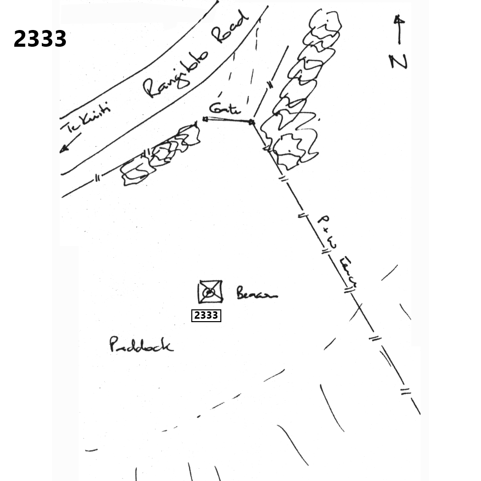
2333: Mark diagram 09-Jul-2020
|
Mark and site detail
|
Geodetic Code:
2333
|
|
Name:
8321
|
Mark type:
Nail
|
|
Land District:
South Auckland
|
Plan References:
|
|
Topo50 Reference:
BF33 019 569
|
NZTM:
5756923
1801925
|
|
|
Date established:
22-Sep-1952
|
Date of Inspection:
09-Jul-2020
|
|
Mark Description:
* This mark is used for deformation monitoring, do not alter the ground mark in any way. 2 inch iron pipe with wooden plug and nail at centre. Bottle as buried mark.
|
|
Mark Protection Structure Type:
* 3m or 4m Beacon.
|
|
GNSS Suitability:
|
|
Public ownership:
Unknown
|
|
|
|
|
Access Restrictions:
Contact owners
|
|
Access Notes:
There are two options: 1. Traveling from north, turn onto Otewa Road immediately south of Otorohanga after crossing over Waipa River. Turn right onto Barber Road after about 10-llkm. Trig is on your left about 300m south of Tahia-Bush Road turn off. 2. Traveling from south, work your way around southern margin of Te Kuiti onto Rangitoto Road. Follow for about 11-12km. Trig is on your right about 600m after passing Thompson Road.
|
|
Access Date:
|
|
Cellphone coverage:
Not tested
|
|
|
Access Diagram:
May not be to scale
|
|
|
|
Date Beacon Erected:
01-Jan-1990
|
|
Beacon Type:
3 or 4 metre wooden beacon
|
|
Beacon Measurement date:
09-Jul-2020
|
|
Beacon Eccentricity:
Central
|
|
|
Beacon Diagram:
|

|
|
*
The data in Landonline may be more recent